2895-DTV-NO-2021
Client: Private
Status: Research
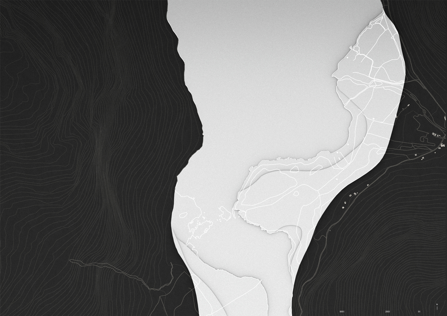
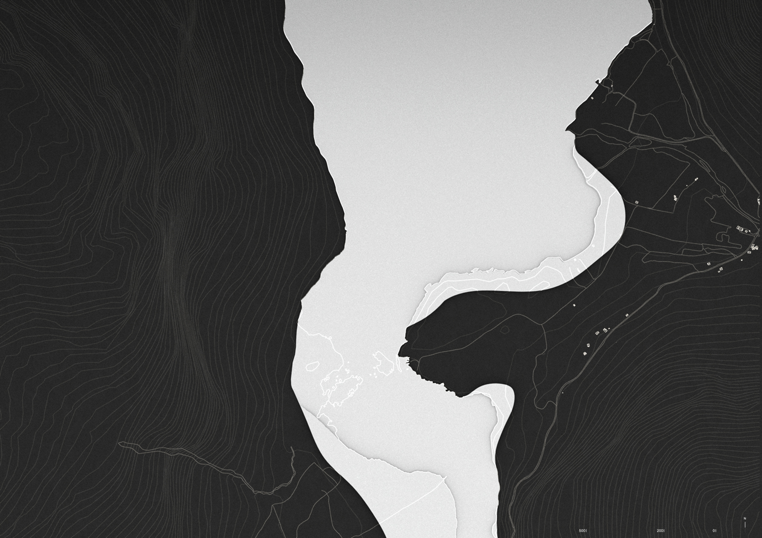
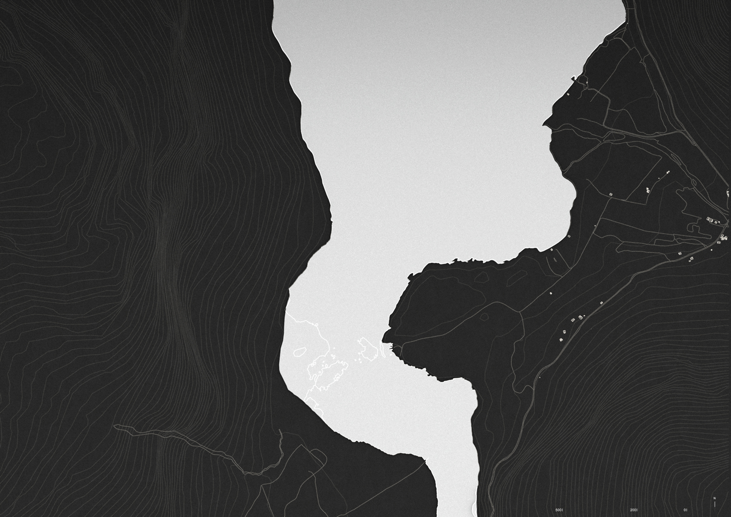
Location: Loen, Norway
Coordinates: 61.793890, 6.999176
Climate: Artic / polar, Cold
Material: Metal
Environments: Mountain, Riverside, Forest
Visualizer: Studio
Scale: 450 ㎡ Small
Types: Cultural, Interpretation center


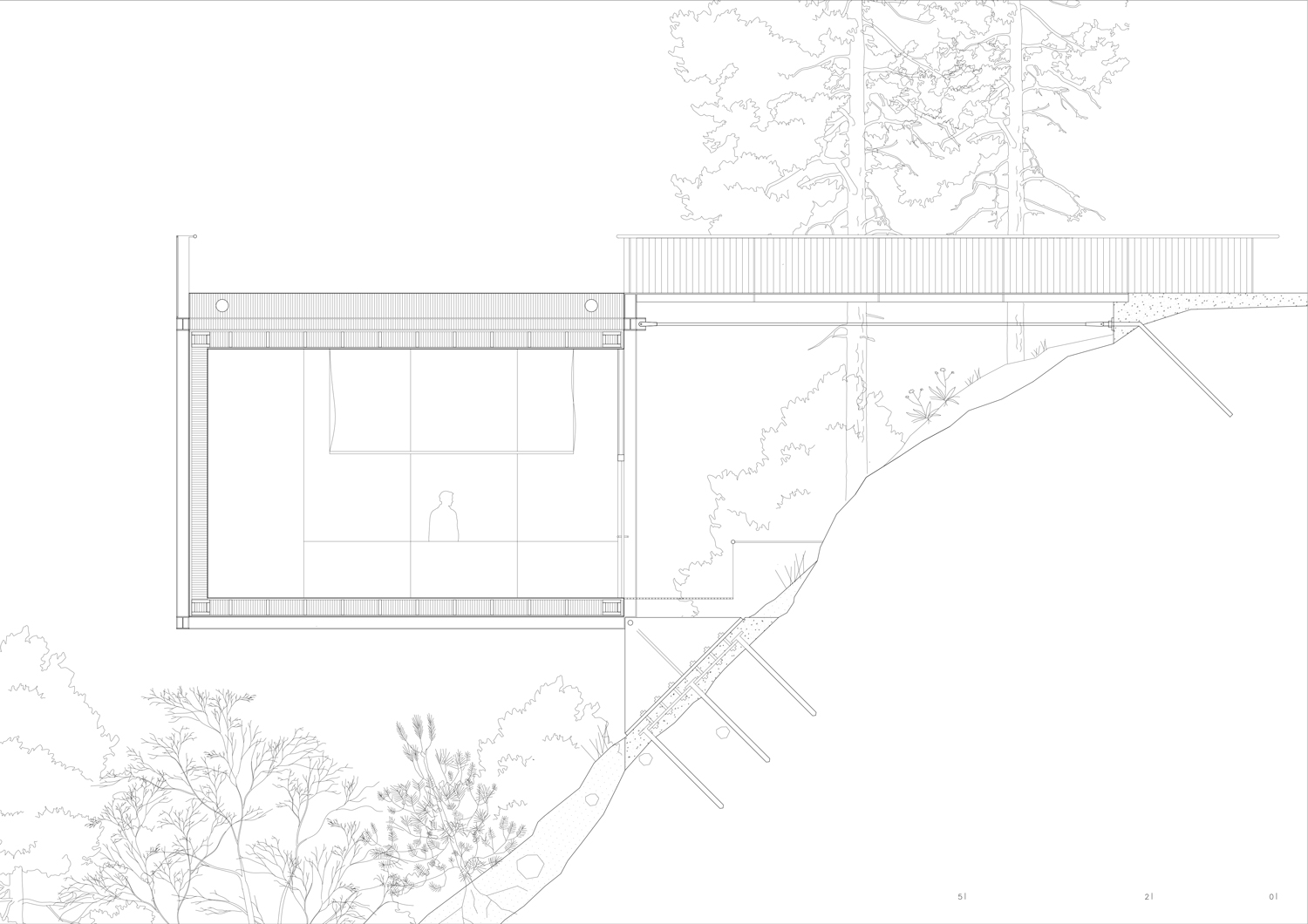
The project is a Visitor Center to learn about rockfall and the strong story of the rockfall events of Loen in 1905 and 1936. The construction of the project is a reflection of the forces present during a rockfall.
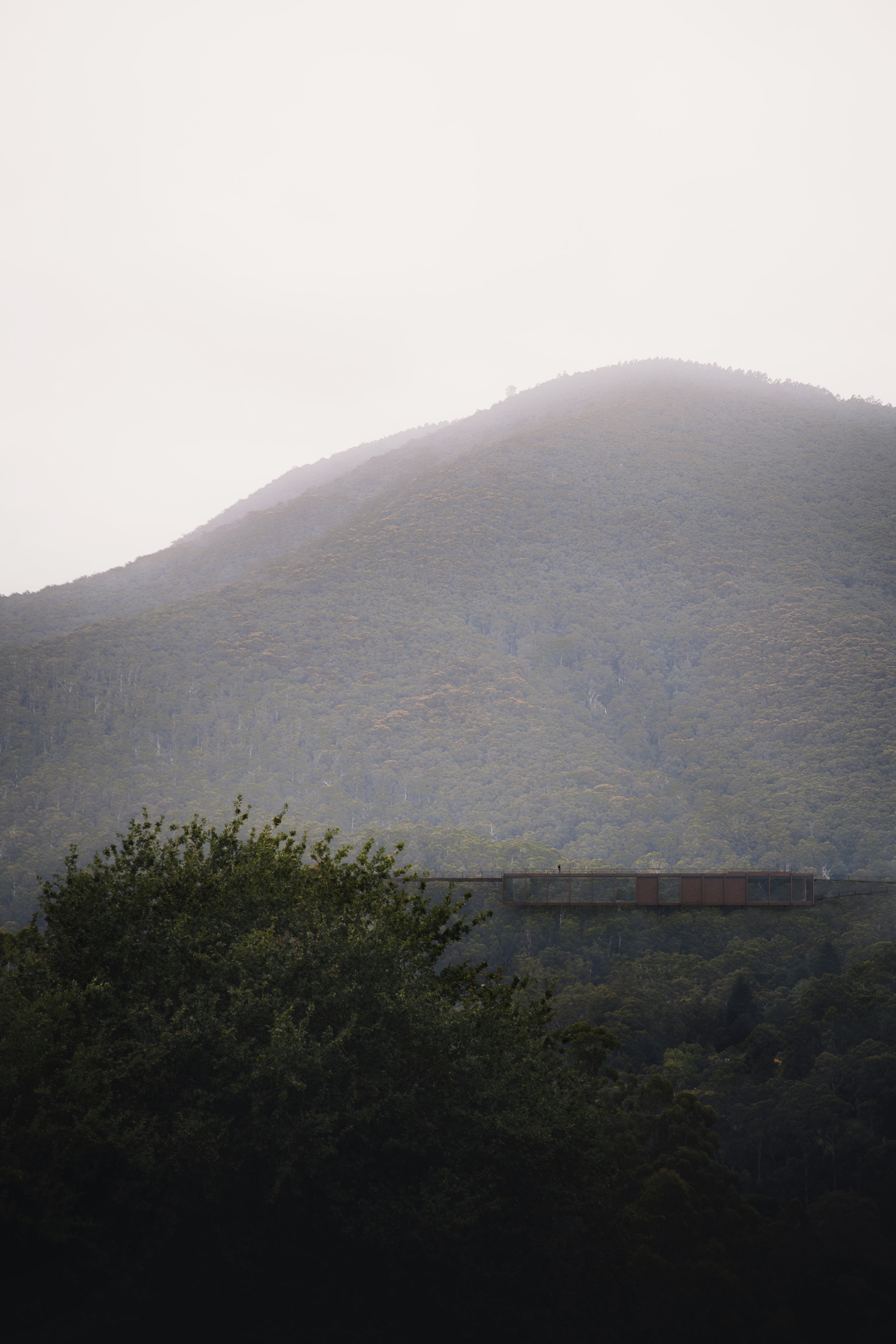
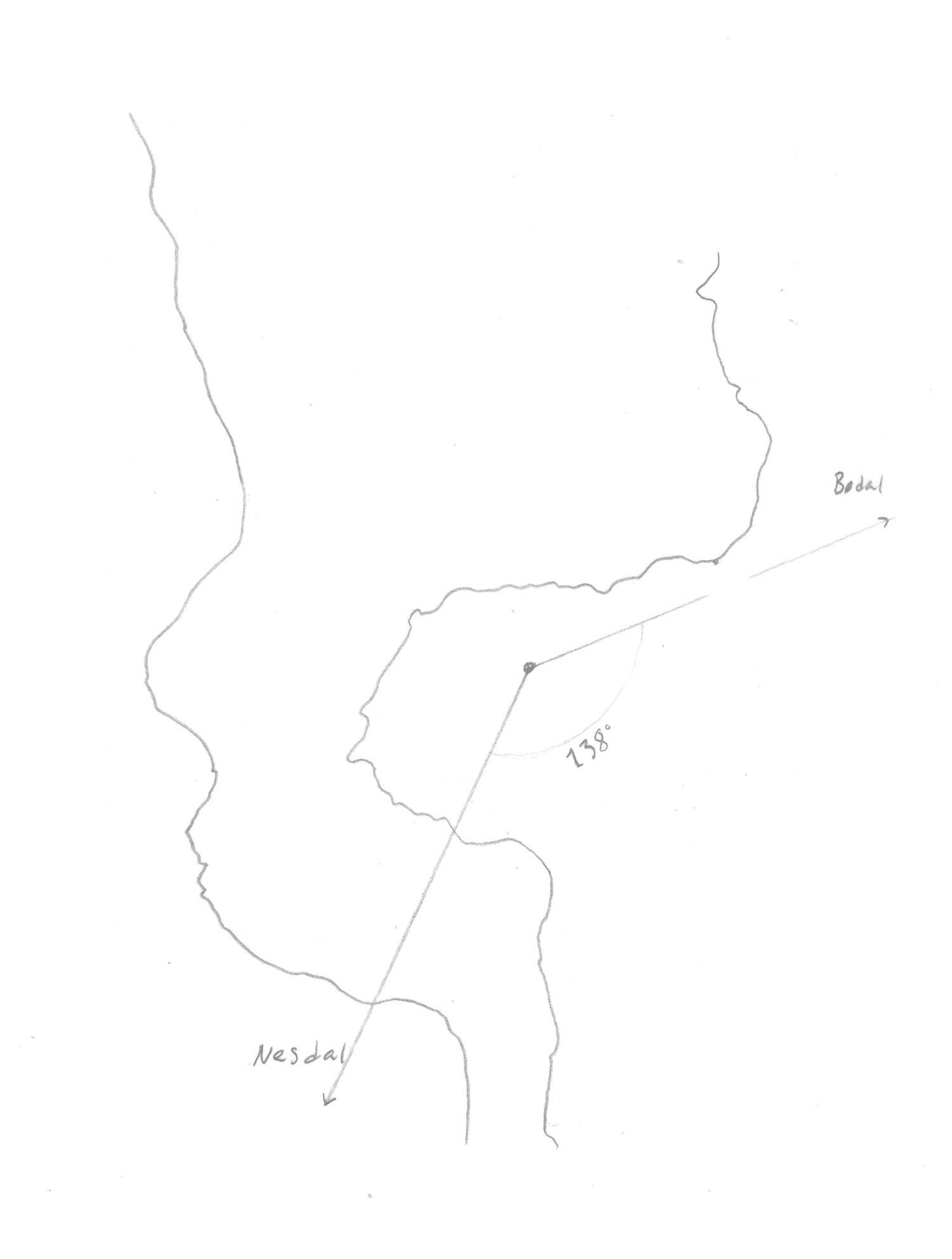
The building is situated in a steep hill 70 meter above sea level. This is to experience the height of the tsunami which demolished the village as a result of the rockfall. Concept text . The project aims to develop Nesodden as a destination to learn about rock fall, and the strong story of Loen. The main ambition has been to strengthen the destination by either giving access to or protecting the already existing qualities of the site.
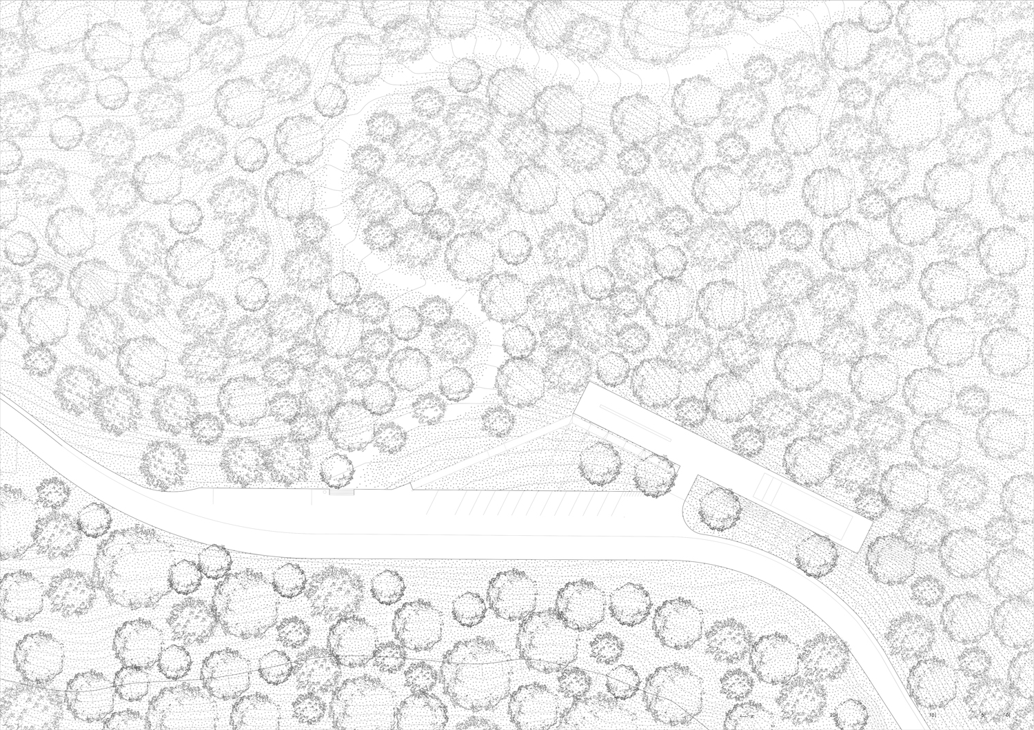
The projects provide parking spaces, and a rest area for visitors that arrive with car and bicycle. The idea is that the visitor center gives a thorough introduction of the theme, before the visitors travel into the landscape and experience the different historical and geological phenomenon’s.
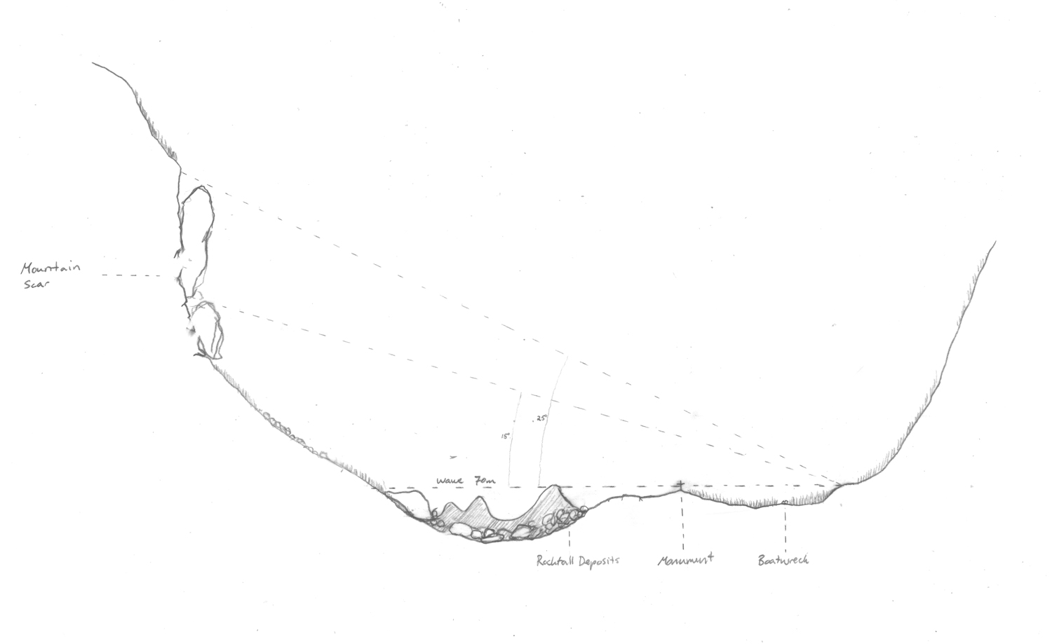
The outdoor learning exhibition consists of three stops along an already existing pathway leading from the visitor center down to Lovatnet, facing Ramnefjellet. The first stop, and place of intervention is the boat-wreck of Lodalen which was throwed five hundred meters from the water and now lies in the middle of the forest. There has been an ongoing discussion for a long time in the local community of making a sheltering structure around the boat to prevent it from weathering.
The second stop, and place of intervention is the monument of the lost, located on the highest hilltop of Nesodden. In 1905 the surviving population of Loen raised a memorial monument for the ones who were lost after the first accident. The monument was washed away as a result of the second wave (in 1936). After 1936 there has been a less permanent wooden cross on the site. As a part of my diploma, I have redesigned a more permanent place of remembrance which brings awareness to the names and where the lost ones came from.
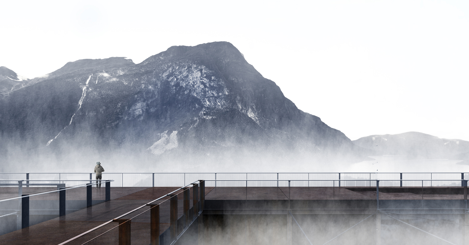
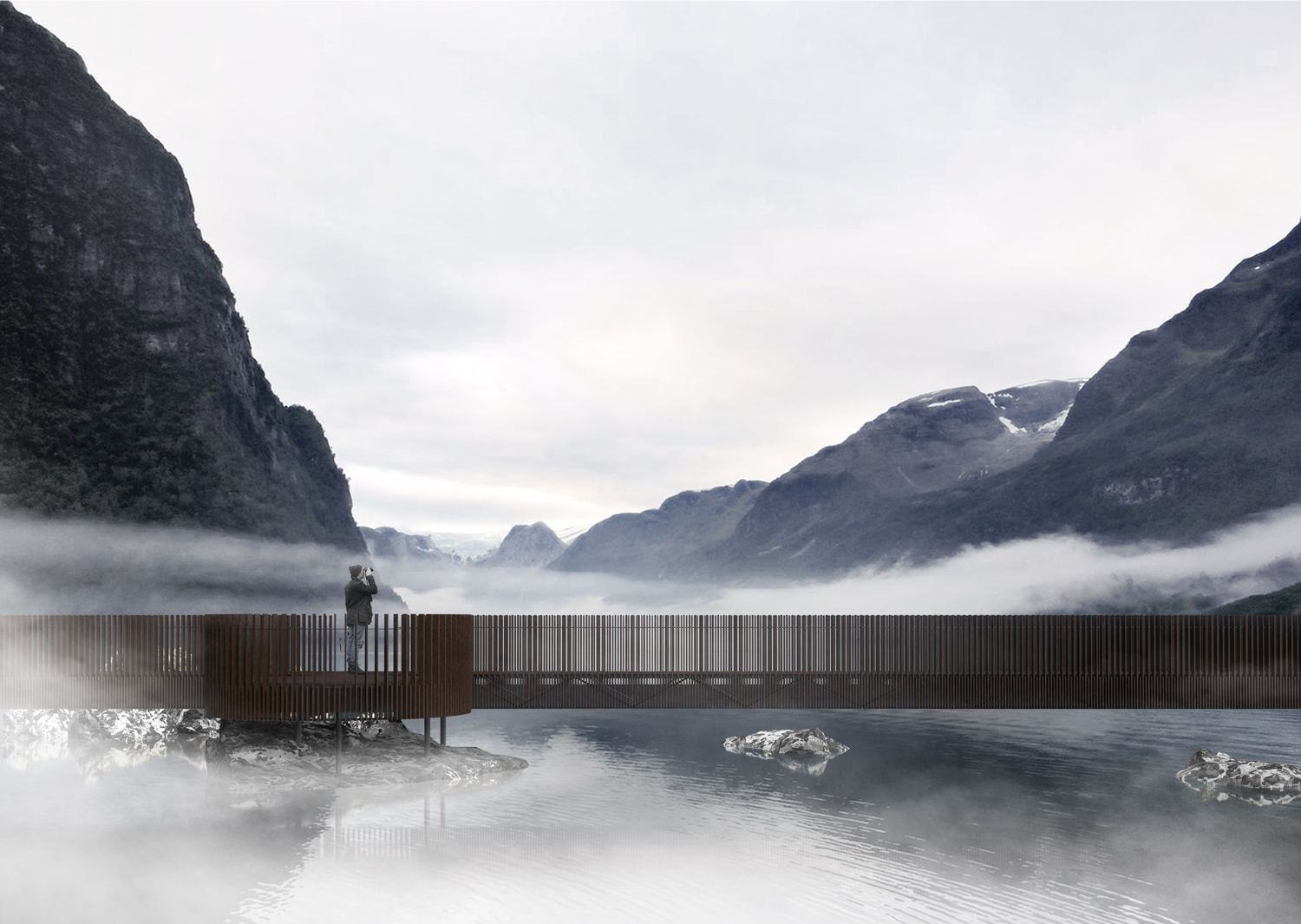
The path ends at the lake Lovatnet. Here the visitors can experience the big rock fall settlements which lie in the middle of the lake. My intervention is a bridge structure that allows the visitors to experience the rock islands up close. This is the end destination of the nature path.
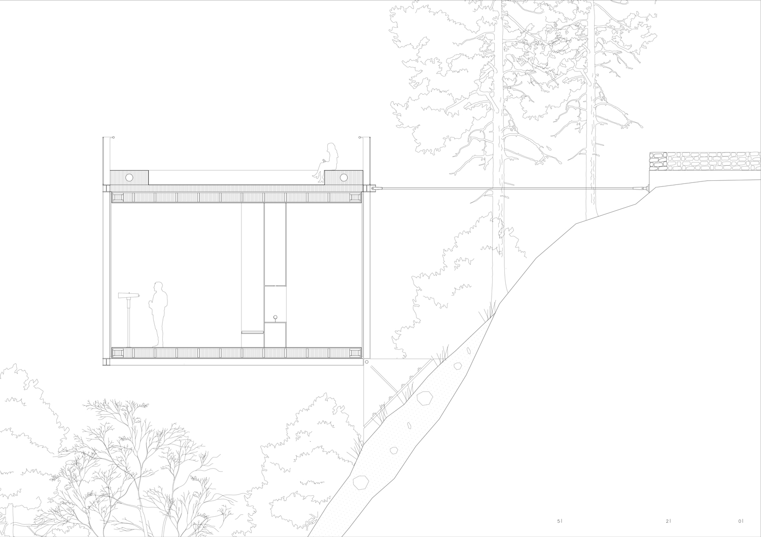
The placement of the visitor center is around seventy meter above the lake. This height has been an important factor when deciding where to place the building. It allows the visitors of the project to experience the height of the tsunami which destroyed the village.
Program
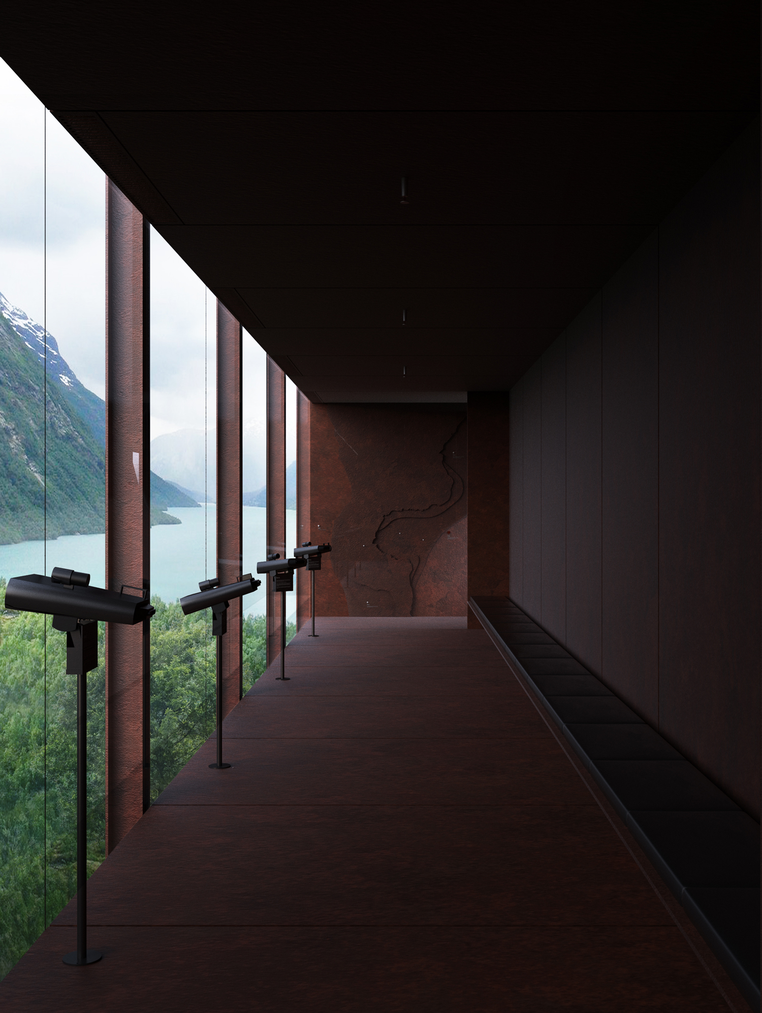
The program consists of primarily one building, and three outdoor interventions. The building offers a public outdoor viewpoint that is accessible all year. The viewpoint also functions as an outdoor auditorium for guided tourist groups and school class visitors. The visitor center is separated into two main public programs. A hundred and fifty square meter exhibition/learning space and a seventy five square meter restaurant. The rest of the program goes under circulation, restrooms, storage and administration space.
Structural System
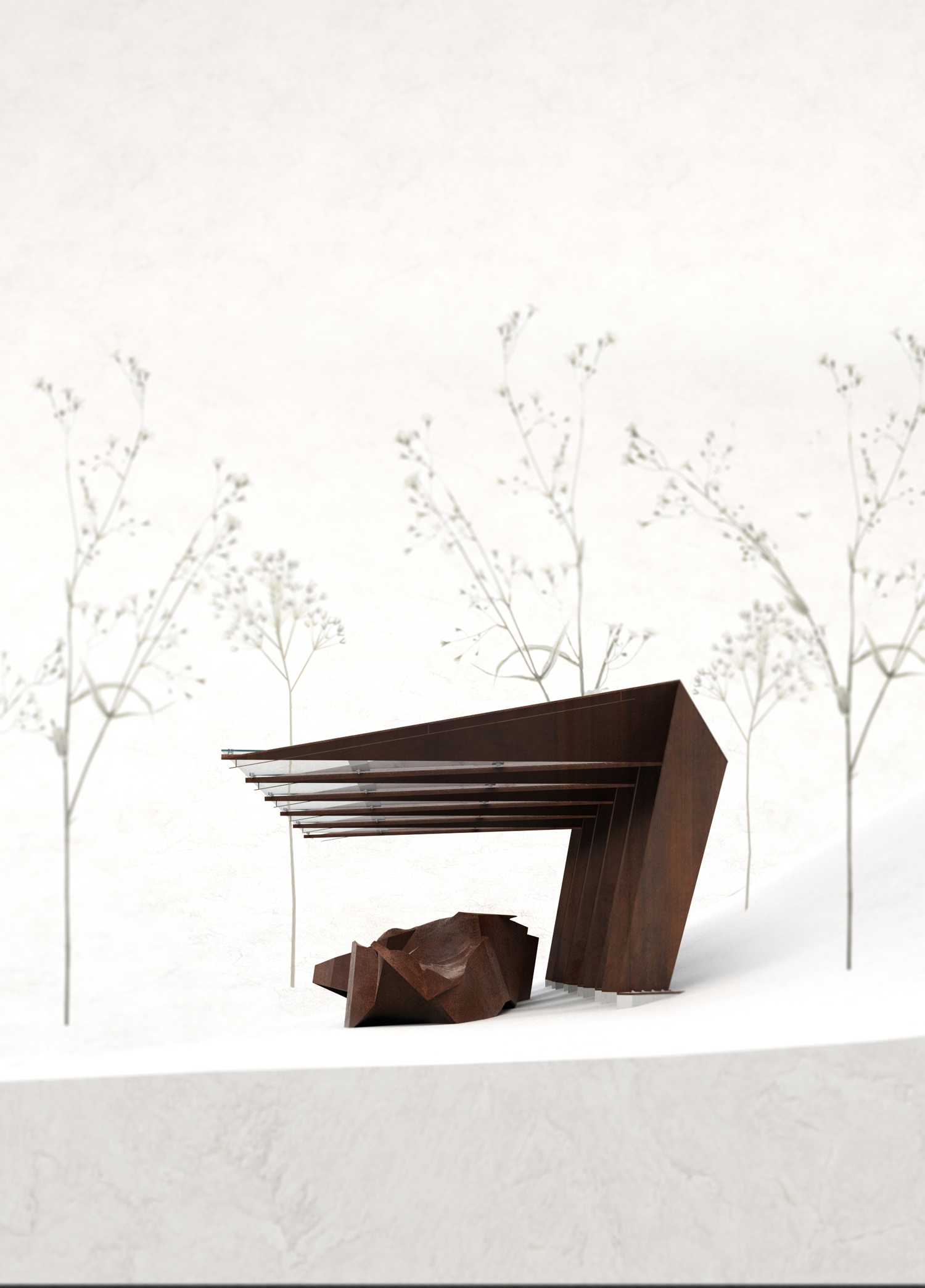
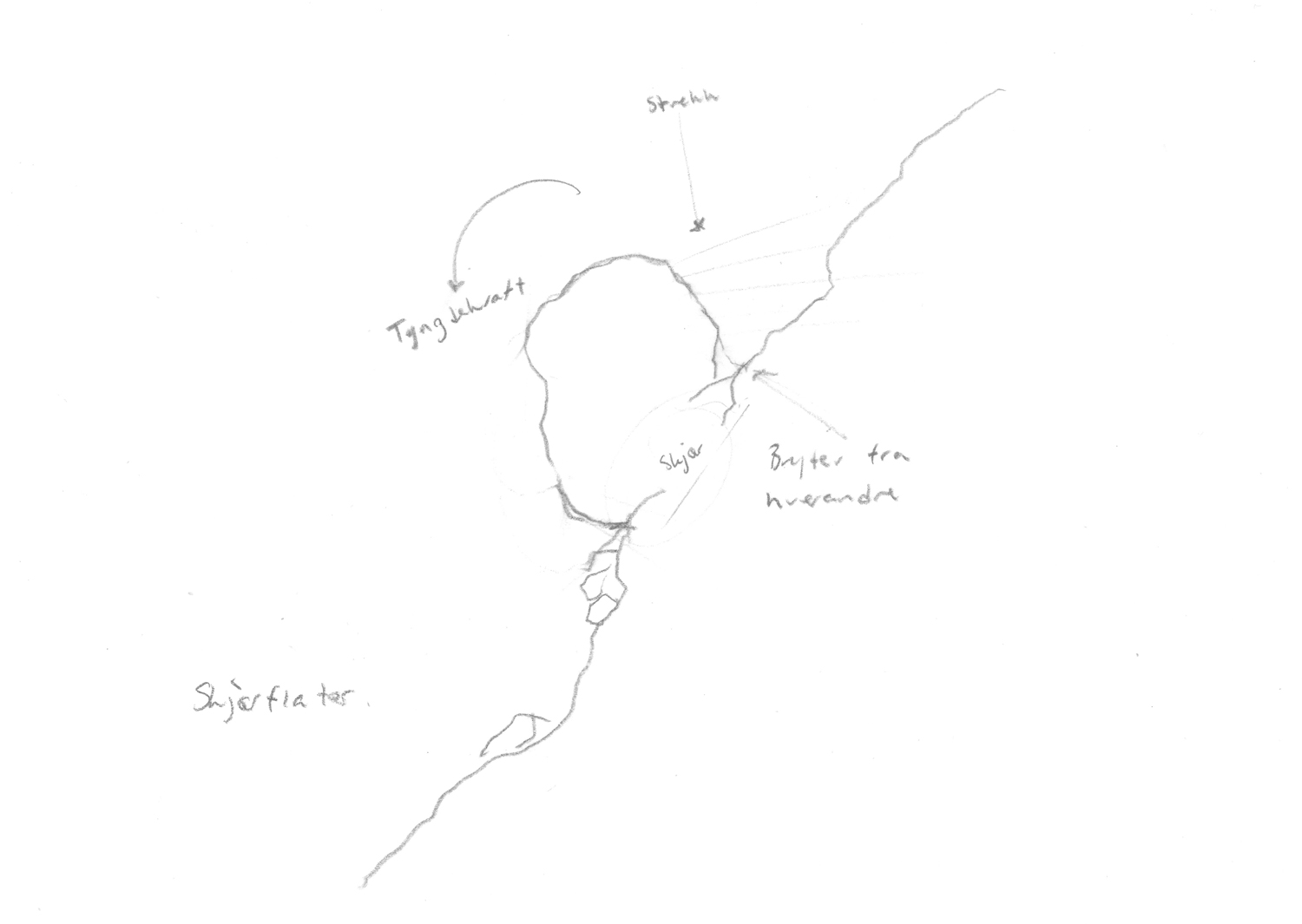
The structural system of the visitor center is a direct reflection of the forces present during a rock fall. Rock fall is a result of big cracks in the mountain that weakens its structural capacity. The primary force of rock fall is shear forces. When these forces appear, you get pressure at the bottom side of the loose stone volume, and tension at the back. This force relationship together with the self weight of the volume tends to create momentum. This relationship is articulated as the building’s structural system.
The principle of foundation is developed to harm the environment as little as possible. The foundation technique is based on the technology of avalanche protection. The construction is visible, allowing the visitors to understand the forces in play, and the buildings relation to the mountain.